
 The last (but not final) assignment for the class focused on georeferencing an image, editing features and using ArcScene. First part of the assignment was to take an aerial image of an area and georeference it. That is, to assign it a spatial properties, give it a place in the world. That is done using the Georeference toolbar by connecting a point on the unreferenced image to a point with a known location. You should have at least 10 locations connected that way, and those locations should be spread out throughout the image. Avoid choosing locations that is in a line, or that are clustered closely together.
Second part consisted of editing features. In this case adding a building and a road based on previously referenced image. Other than steps needed to start, save and end editing, this works a lot like most drawing programs. Once drawn, data was added to the attribute table in order to use it later on in ArcScene. Last part of creating this map included adding an eagle nest, creating a double buffer around it, and linking a web address of it's picture.
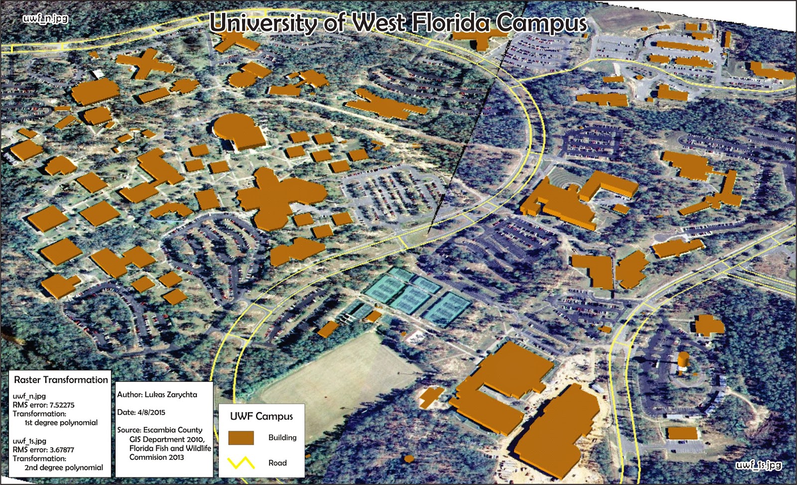
Third part of the assignment involved using ArcScene to create a 3d image of UWF campus. Using Extrude tool all buildings were given appropriate heights. This is were adding building height to the newly created building in the attribute table came in.
No comments:
Post a Comment