
In the first part of module 7 we learned to import text and AutoCAD data into ArcMap. This usually involved converting the data into a correct table format, adding appropriate column headings, and assigning projection, if known.
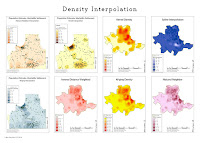
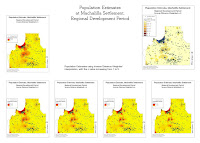
In the second part of the module we learned to interpolate surface data based on known data points. This information can in turn be used to get an idea what the site looked like during the time period we are studying, or to narrow down good places for further studies of the site.
No comments:
Post a Comment